
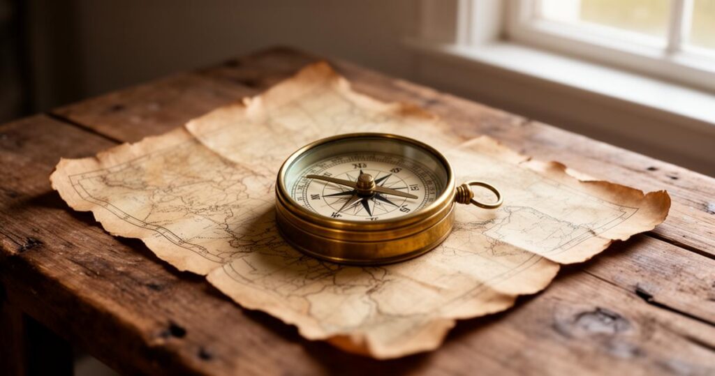
There is something wonderfully rewarding about heading out into the British countryside with your children in tow, watching them spot landmarks, ask questions about the path ahead, and slowly build the confidence to lead the way themselves. Learning to find one's bearings is not just a practical skill for staying safe outdoors, it is also a brilliant way to nurture curiosity, patience, and independence in young minds. This guide walks through the essentials of teaching navigation to children, from reading maps to planning routes and turning the whole experience into a game everyone can enjoy.
In brief
- Teaching children navigation skills fosters curiosity, independence, and spatial awareness while making family hikes more engaging.
- Parents should introduce map reading as a shared discovery, helping children interpret symbols and contour lines to understand the landscape.
- Practical exercises, such as identifying physical landmarks on a map or predicting the terrain ahead, build essential orientation skills.
- Using traditional tools like a compass alongside modern GPS devices provides a balanced education that encourages active learning and reliable backup.
- Planning child-friendly routes that feature variety and regular rest stops helps maintain enthusiasm and ensures safety during British countryside outings.
- Gamifying navigation through treasure hunts and orienteering tasks turns map reading into an enjoyable activity that builds long-term confidence.
Essential Map Reading Skills and Spatial Awareness for Family Hiking Adventures
Before setting off on any family walk, it helps enormously if children have a basic grasp of what a map actually shows. Rather than treating this as a dry lesson, parents can turn map reading into a shared discovery exercise, pointing out how squiggly lines represent hills and how tiny symbols hint at woodland, rivers, or footpaths. Building this kind of spatial awareness early on gives children a genuine sense of ownership over the walk, rather than simply following along behind the adults.
Understanding Ordnance Survey Maps: Teaching Children to Interpret Symbols and Contour Lines
The classic Ordnance Survey map remains one of the most trusted tools for anyone exploring the hills and valleys of Britain, and it offers a fantastic teaching resource for families. Contour lines, though initially baffling to a child, become far easier to understand once you explain that lines packed closely together mean a steep climb, while widely spaced lines suggest gentler ground. Encourage children to trace a planned route with their finger, spotting where the path crosses a stream or skirts round a patch of woodland. Over time, they begin to connect the abstract shapes on paper with the real hills and valleys stretching out before them, which is precisely the kind of navigation confidence you want to instil.
Developing Spatial Orientation: Practical Activities to Help Young Hikers Recognise Their Position in the Landscape
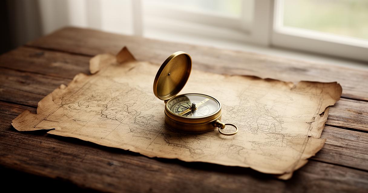
Spatial orientation is best learned through repetition and real-world practice rather than theory alone. A simple but effective activity involves stopping at a viewpoint and asking your child to identify features on the map that match what they can see, such as a distant church spire or a bend in the river. Another useful trick is having them predict what lies around the next corner based purely on the contour lines, then checking whether they were right once you get there. These small exercises sharpen their ability to relate paper to landscape, a skill that will serve them well on every future outing, whether that's a countryside ramble or eventually planning their own group hikes with friends.
Navigation Tools and Techniques: Equipping Your Family for Safe Wilderness Exploration
Choosing the right tools can make all the difference between a stressful trek and an enjoyable family outing. While technology has transformed how we find our way, there remains a strong case for teaching traditional methods alongside modern gadgets, ensuring children understand navigation as a skill rather than something that simply happens via a screen.
Traditional Compass Use Versus Modern GPS Devices: Finding the Right Balance for Family Groups
A compass might seem old-fashioned in an age of smartphones, yet it remains an invaluable teaching tool precisely because it demands understanding rather than passive reliance. Showing children how to align the needle with north, then take a bearing towards a distant landmark, gives them a tactile, hands-on grasp of direction that a GPS screen simply cannot replicate. That said, GPS devices and hiking apps have their place too, particularly for reassurance on longer routes or in poor visibility. The sensible approach for most families is to use both together, letting children practise compass skills while having a GPS device as a reliable backup should things get tricky.
Planning your route in advance: creating child-friendly hiking itineraries across british countryside
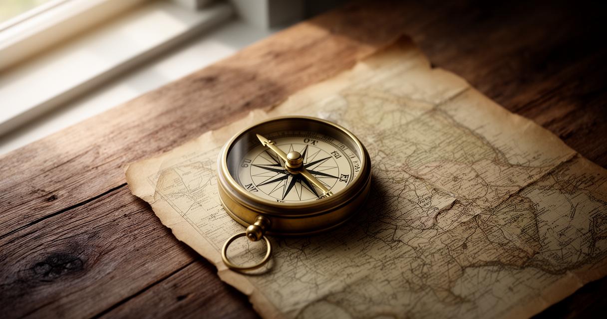
Good preparation transforms a potentially fraught day into a smooth and memorable adventure. When planning a route with children in mind, it pays to research paths that offer variety, perhaps a stretch of woodland, a stream to cross, and a viewpoint worth the climb, rather than one long, monotonous stretch. Building in regular stopping points for snacks and rest also keeps spirits high, particularly with younger walkers who tire more quickly. It is worth noting a few practical considerations when mapping out your day:
- Check the weather forecast and daylight hours before committing to a route
- Choose paths with clear waymarking suitable for beginners
- Identify escape routes or shorter alternatives in case the walk needs cutting short
Careful planning like this ensures the whole family arrives home tired in the best possible way, rather than frustrated or overwhelmed.
Building confidence through practice: group navigation activities that engage children of all ages
Confidence in the outdoors rarely comes from a single walk; it builds gradually through repeated, positive experiences. Turning navigation practice into something enjoyable rather than a chore is often the key to keeping children engaged for the long term.
Turning Navigation into Play: Treasure Hunts and Orienteering Games for Young Explorers
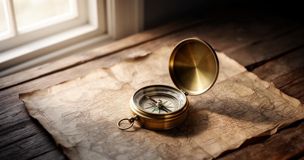
Orienteering games and improvised treasure hunts are brilliant ways to disguise learning as pure fun. Setting up a series of checkpoints marked on a simple map, each with a small clue or token to find, gives children a clear goal while quietly reinforcing their map-reading abilities. Group activities like these also work wonderfully for school trips or scout outings, where children can be split into small teams and encouraged to navigate collaboratively. The sense of achievement when a team successfully finds its way to the final checkpoint often does more for their confidence than any amount of formal instruction ever could.
Future-Proofing Skills: Progressive Challenges to Develop Independent Navigation Abilities in Growing Children
As children grow older and more capable, the challenges set for them should evolve too. What begins as following a parent's lead on a well-marked trail can gradually shift towards children taking turns leading the group, checking the map themselves, and making decisions about which path to follow. This kind of progressive responsibility, introduced carefully and always with adult supervision nearby, helps young people develop genuine independence over time. Looking ahead, these early experiences often plant the seeds for a lifelong love of the outdoors, whether that eventually leads to serious hillwalking, Duke of Edinburgh expeditions, or simply a lasting confidence in finding their bearings wherever life takes them. Investing time now in teaching these skills is, in many ways, a gift that keeps giving well into adulthood.